

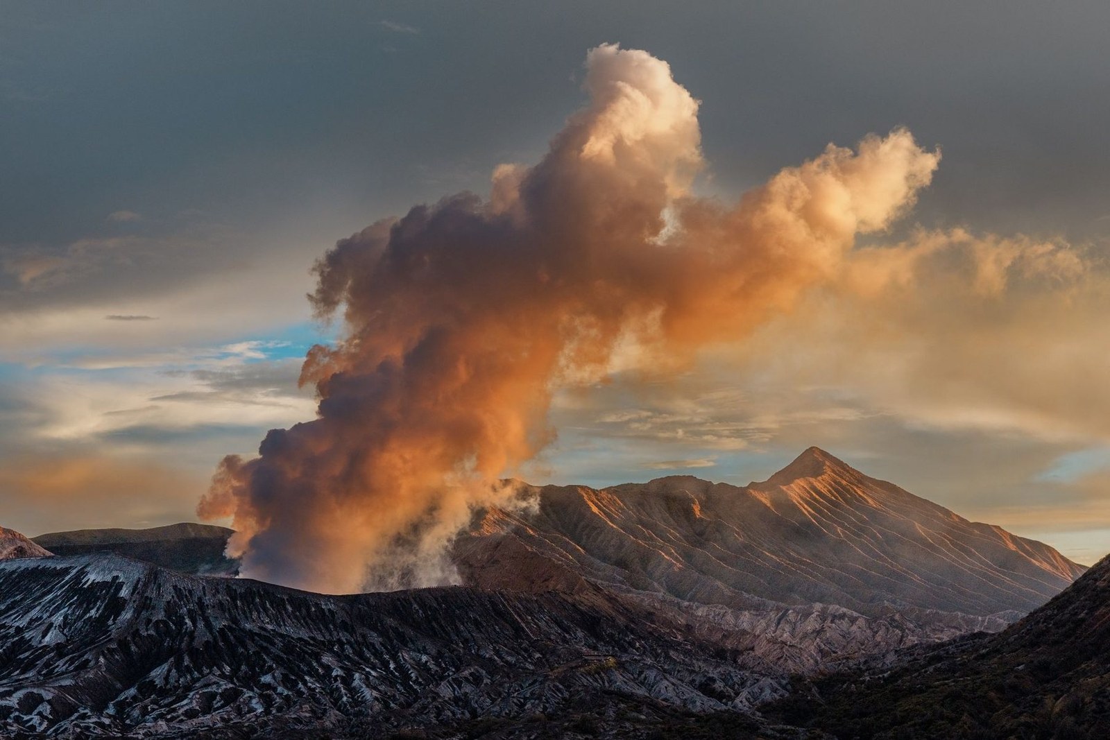
Mount Bromo
Tosari · East Java · Indonesia
Mount Bromo (mountain travel) offers a volcanic trail that rewards hikers with sunrise views and smoke‑filled horizons.
Mount Bromo (mountain travel) offers a volcanic trail that rewards hikers with sunrise views and smoke‑filled horizons.
Daneswara Eka · Pexels · PEXELS_CURRENT_TERMS

Place, map and geographic details identified in this scan.
Save the place, add dates and compare real routes in Wayonara.
Mount Bromo is a volcanic mountain that invites trail‑seeking travelers to climb its rim and witness the sunrise over a crater lake. The ascent provides a quiet, high‑altitude setting that aligns with the account’s focus on alpine lakes and high trails. The landscape’s dramatic smoke and clear blue skies create a photogenic backdrop for photographers who appreciate natural light and volcanic scenery. The view from the rim is a classic example of how a single peak can embody the drama of life above the clouds. The surrounding Bromo Tengger Semeru National Park offers a protected environment that supports hiking and nature observation. The park’s designation as a national park ensures that the terrain remains relatively undisturbed, a feature that appeals to those who seek serene, high‑altitude routes. Planning a visit to Mount Bromo requires a sunrise start and a willingness to walk on uneven volcanic rock. Travelers should prepare for the altitude and the possibility of sudden weather changes, but the reward is a quiet, high‑altitude experience that fits the account’s promise of mountain travel.
Share location once or enter a departure city. Your position is rounded and never published.
Prices shown here are either recently checked or clearly marked as indicative.
Only the scan location is available. A complete itinerary needs more confirmed stops.
Suggested visit
Year-round rhythm
Climate rhythm
Monthly highs and lows above; rainfall sits below for quick seasonal reading.Source: Open-Meteo
A compact packing start based on destination conditions.
A fragrant rice dish cooked with local spices, topped with a savory sauce made from tomato, garlic, and a hint of chili, often served with boiled eggs and sliced cucumber.
Skewered grilled meat (usually chicken or beef) marinated in a blend of turmeric, coriander, and sweet soy sauce, served with a spicy peanut sauce and a side of rice cakes.
IDR (Rp)
Indonesian
Asia/Jakarta
Type C/F
230V · 50Hz
Public share links only show public scan details. Private scans, origin, budget, saved trip data and account information are not shown here. If the owner deletes this scan or makes it private, this page stops working.